A Topographic Map Of Pakistan is more than just lines on paper; it’s a visual journey through the country’s diverse landscapes. From the towering peaks of the Karakoram Range to the fertile plains of the Indus River Valley, this map unveils Pakistan’s geographical tapestry in fascinating detail.
Unveiling Pakistan’s Diverse Geography with a Topographic Map
Understanding Pakistan’s geography begins with a topographic map. This invaluable tool goes beyond simply outlining borders; it reveals the country’s shape, size, and most importantly, its varying terrain.
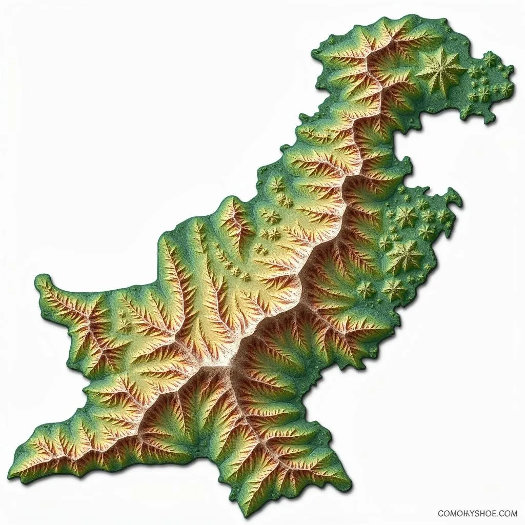 Topographic map showcasing Pakistan's diverse terrain, highlighting its mountain ranges
Navigating the Heights: Mountains and Plateaus
Pakistan is renowned for its majestic mountains, captivating trekkers and adventurers worldwide. The northern regions are dominated by some of the world’s highest peaks, including the mighty K2, nestled within the Karakoram Range.
The Himalayas stretch across the north-east, while the Hindu Kush expands westward. These towering ranges are not just geographical marvels; they are the source of mighty rivers, shaping the country’s lifeblood. Moving south, the landscape transitions into plateaus, notably the Potowar Plateau and the Balochistan Plateau. These elevated landforms, often characterized by rugged terrain, contribute significantly to Pakistan’s geographical diversity.
Traversing the Lowlands: Plains and Deserts
Contrasting the towering heights are the expansive plains. The Indus River Valley, often dubbed the “breadbasket of Pakistan,” dominates the eastern region. This fertile plain, nourished by the Indus River, is a testament to the country’s agricultural prowess.
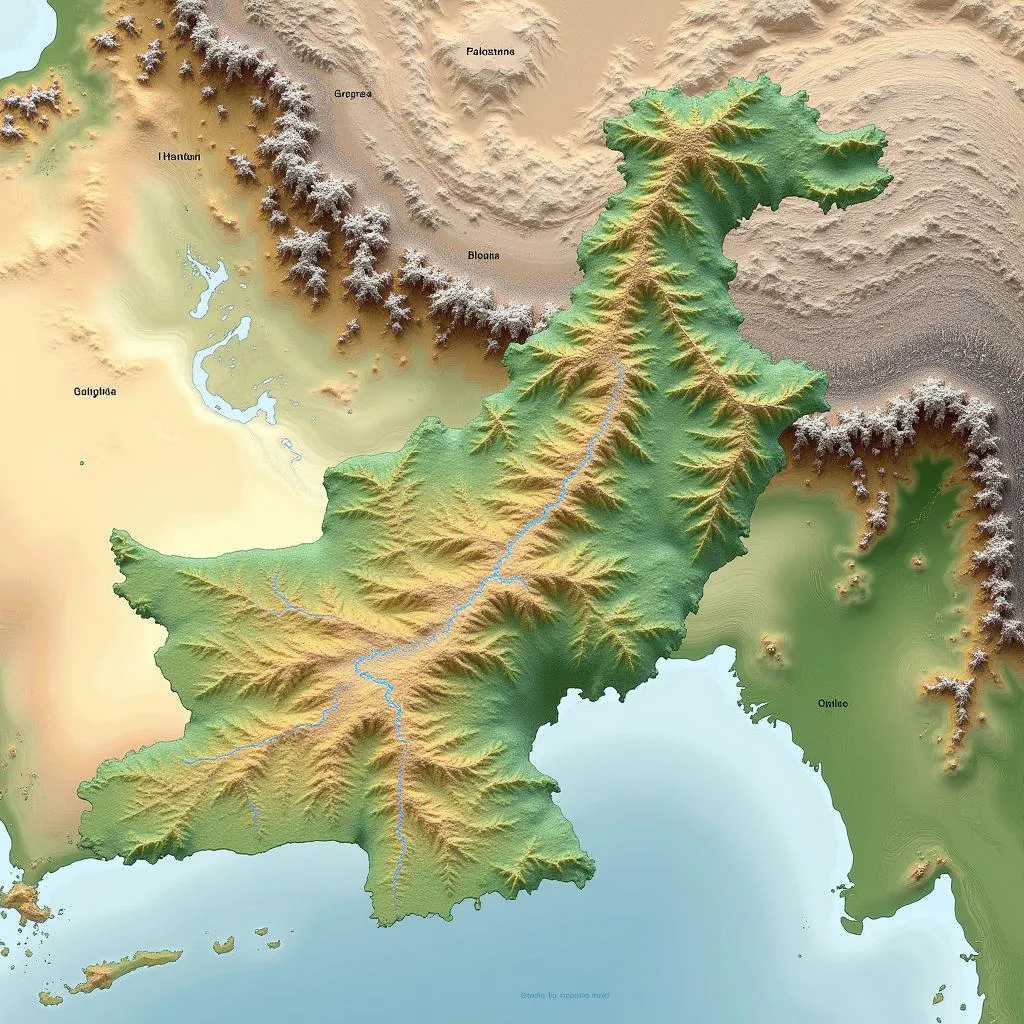 Indus River Valley depicted on a Pakistan topographic map, highlighting its agricultural significance
Westward, the landscape transforms into arid deserts. The Thar Desert, also known as the Great Indian Desert, sprawls across southeastern Pakistan. Further west lies the Balochistan Plateau, characterized by its arid plains and rugged mountains, showcasing the country’s diverse environment.
The Role of Rivers in Shaping Pakistan’s Topography
Rivers have played a pivotal role in shaping Pakistan’s landscape and nurturing its civilizations. The Indus River, originating from the Tibetan Plateau, is the lifeline of Pakistan. Its tributaries, including the Jhelum, Chenab, Ravi, Sutlej, and Beas rivers, create a vast network that irrigates the land and supports a thriving ecosystem. The Indus River Delta, where the river meets the Arabian Sea, is a unique ecosystem supporting diverse flora and fauna.
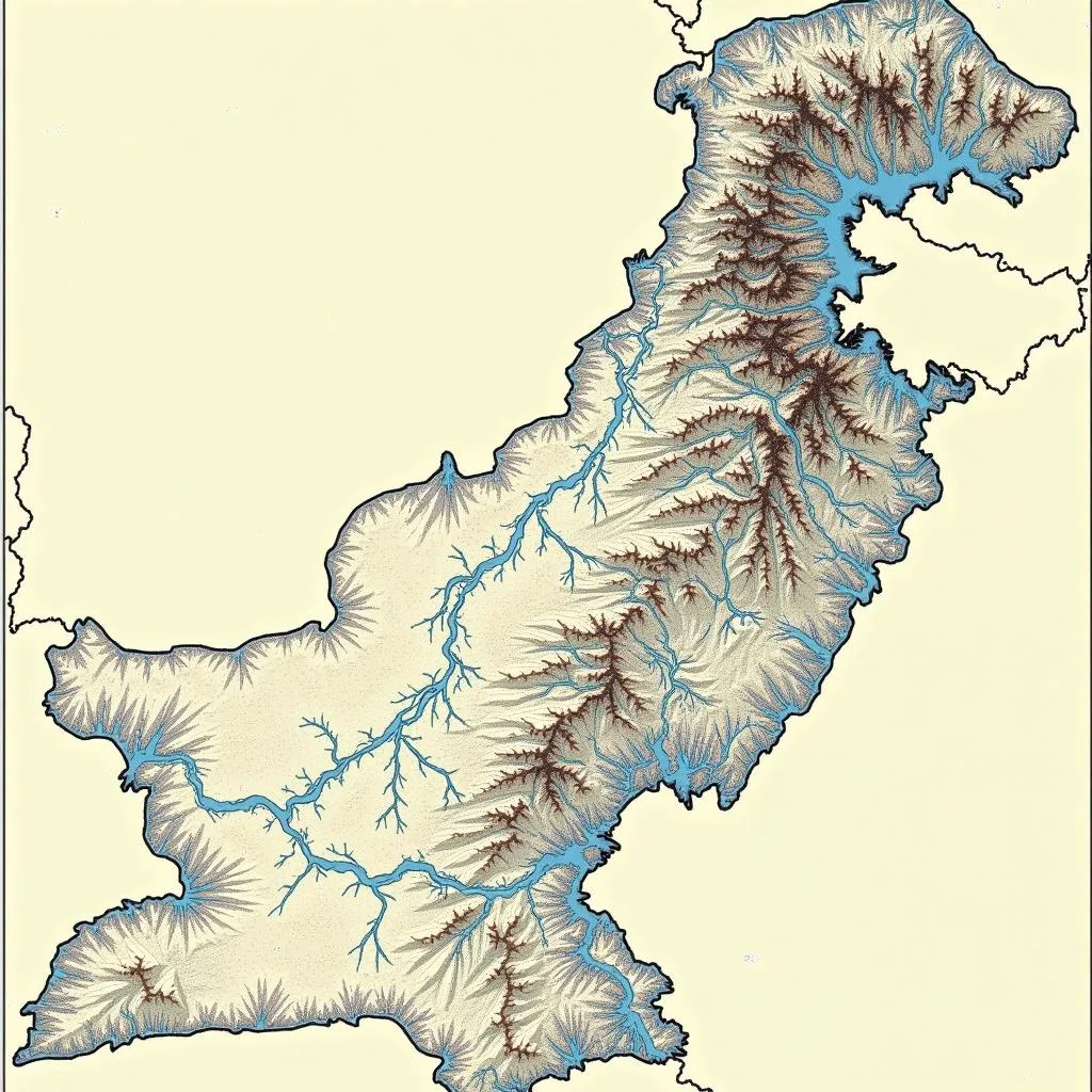 Topographic map of Pakistan emphasizing its major rivers and their impact on the land
Conclusion
A topographic map of Pakistan unveils a country of dramatic contrasts, from towering peaks to fertile plains, and arid deserts. It tells a story of geographical diversity, shaped by mighty rivers and ancient geological forces. Understanding this map is key to comprehending the intricate relationship between Pakistan’s land and its people.
FAQs
-
What is the highest point in Pakistan?
K2, located in the Karakoram Range, is the highest point in Pakistan and the second highest mountain in the world. -
What is the significance of the Indus River Valley?
The Indus River Valley is crucial to Pakistan’s agriculture, often referred to as the “breadbasket” of the country. -
What are the major deserts in Pakistan?
The Thar Desert and the deserts within the Balochistan Plateau are the major desert regions in Pakistan. -
Where is the Potowar Plateau located?
The Potowar Plateau is located in the northern part of Punjab province, Pakistan. -
Why are topographic maps important?
Topographic maps provide detailed information about elevation, landforms, and water bodies, essential for various applications, including engineering, planning, and environmental studies.
For any inquiries or assistance, please contact us at:
Phone Number: +923337849799
Email: [email protected]
Address: Dera Ghazi Khan Rd, Rakhni, Barkhan, Balochistan, Pakistan.
Our customer service team is available 24/7 to assist you.