The Satellite View Of Pakistan offers a captivating perspective of this South Asian nation, showcasing its diverse landscapes, bustling cities, and hidden gems. From the towering peaks of the Karakoram range to the fertile plains of the Indus River Valley, Pakistan’s geographical wonders are truly awe-inspiring.
Exploring Pakistan’s Geographical Tapestry through Satellite Imagery
Satellite imagery provides a unique vantage point to appreciate the vastness and variety of Pakistan’s terrain. The country is home to a multitude of ecosystems, each with its own distinct characteristics and allure.
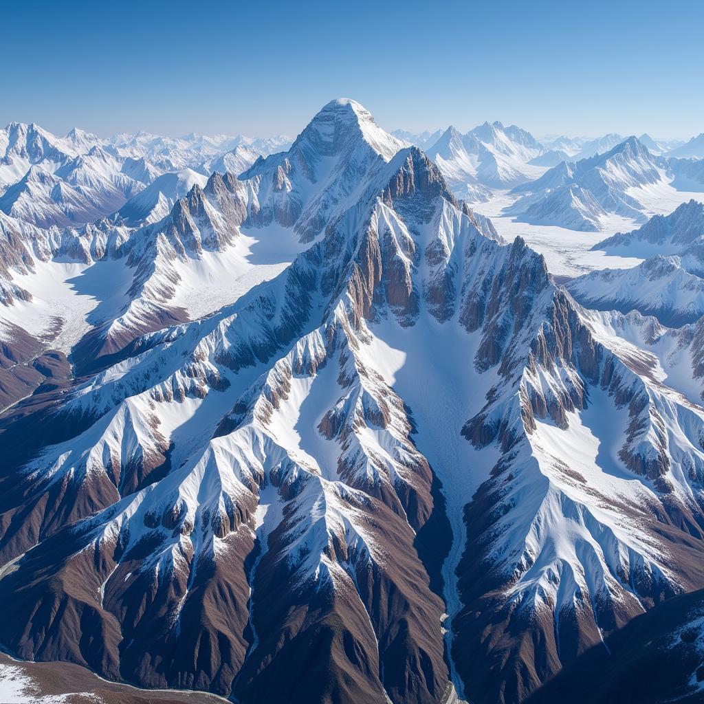 Satellite View of the Karakoram Range
The northern regions are dominated by the mighty Himalayas, Karakoram, and Hindu Kush mountain ranges, where some of the world’s highest peaks, including K2, cast long shadows across the land. These majestic mountains are a paradise for trekkers and mountaineers, offering challenging climbs and breathtaking views.
Moving southwards, the landscape transitions into a patchwork of fertile plains, deserts, and coastal areas. The Indus River, a lifeline of Pakistan, snakes its way through the country, sustaining life and agriculture along its banks.
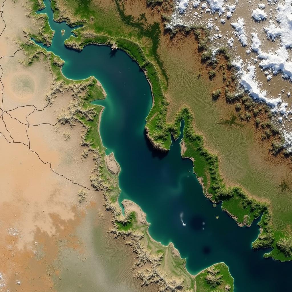 Satellite View of the Indus River Valley
Urban Sprawl and Ancient Wonders: Cities from a Satellite’s Perspective
Pakistan’s major cities, including Karachi, Lahore, and Islamabad, stand in stark contrast to the country’s rural landscapes when viewed from above. Satellite imagery reveals the rapid urbanization that has taken place in recent decades, with sprawling metropolitan areas expanding outwards.
Karachi, the country’s largest city and economic hub, appears as a vast network of streets, buildings, and ports along the Arabian Sea coastline. Lahore, known for its rich Mughal heritage, showcases a blend of old and new, with historical monuments interspersed among modern developments.
Satellite views also offer glimpses into Pakistan’s ancient past. Archaeological sites such as Mohenjo-daro, a UNESCO World Heritage Site, can be spotted from space, revealing the intricate urban planning of the Indus Valley Civilization.
The Power of Satellite Technology: Applications Beyond Visual Exploration
While satellite views of Pakistan provide stunning visuals, the technology’s applications extend far beyond aesthetics. Satellite imagery plays a crucial role in various fields, including:
- Disaster Management: Monitoring natural disasters like floods and earthquakes, aiding in relief efforts.
- Agriculture: Assessing crop health, monitoring irrigation patterns, and predicting yields.
- Urban Planning: Tracking urban growth, managing resources, and developing sustainable cities.
- Environmental Monitoring: Observing deforestation rates, tracking pollution levels, and studying climate change impacts.
Conclusion: A New Perspective on a Familiar Land
The satellite view of Pakistan offers a fresh and captivating perspective on this diverse and dynamic nation. From its towering mountains to its bustling cities and ancient wonders, Pakistan’s beauty and complexity are on full display when viewed from above. As technology advances, satellite imagery will continue to play an increasingly important role in understanding and managing our planet, including this South Asian gem.
FAQs about Satellite View of Pakistan
What are the benefits of using satellite imagery to view Pakistan?
Satellite imagery provides a comprehensive and detailed view of the country, offering insights into its geography, urban development, and environmental changes.
Can I access real-time satellite images of Pakistan?
Several online platforms and applications provide access to near real-time satellite imagery of Pakistan.
How is satellite technology being used to address environmental challenges in Pakistan?
Satellite data helps monitor deforestation rates, track pollution levels, assess water resources, and study the impacts of climate change.
Can I use satellite imagery to plan my trip to Pakistan?
Yes, satellite imagery can be helpful in visualizing landscapes, identifying potential trekking routes, and exploring points of interest.
Where can I find high-resolution satellite images of specific locations in Pakistan?
Specialized platforms like Google Earth Pro, ESRI ArcGIS, and other geospatial data providers offer high-resolution imagery.
For any inquiries or assistance, feel free to contact us:
Phone Number: +923337849799
Email: [email protected]
Address: Dera Ghazi Khan Rd, Rakhni, Barkhan, Balochistan, Pakistan
We are available 24/7 to assist you.